top of page
2018 Meeting Minutes

Lake Independence Citizens Association

Making Waves Towards a Cleaner Lake
Lake Independence is a beautiful recreational lake in Western Hennepin County, Minnesota.
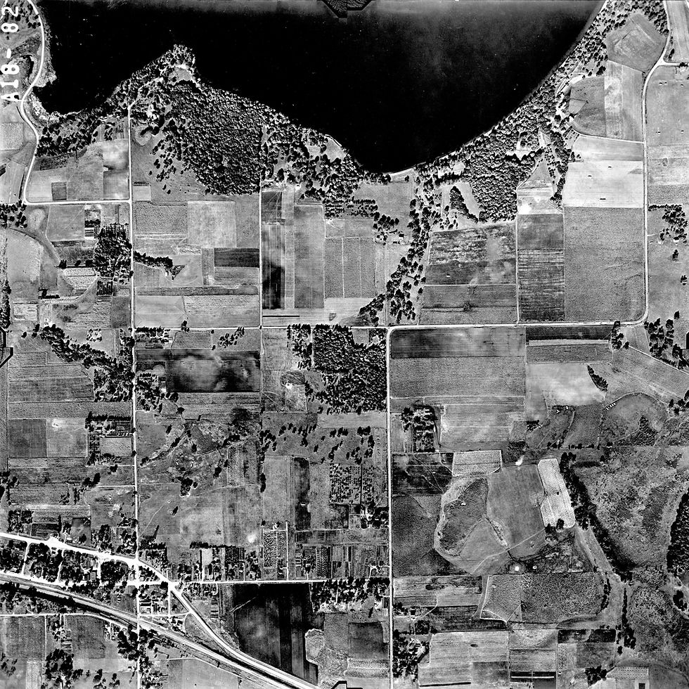
Aerial photos of Lake Independence 1937-1971
Take a look into the crystal ball and see how the lake has changed viewed from above.
-
Has the vegetation changed over time?
-
Trees, farms, cattail encroachment?
-
The 1930s were drought years (down 5'), note the exposure around the islands, dried up marsh areas, exposed beaches with walking bridges
-
Baker park opened 1956, land acquired prior and further developed after.
-
Outlet bridge built 1984
Click on image to open full view

1937 WN-6-500

1937 WN-6-499

1940 WN-4A-172

1945 A-18-083

1945 A-18-108

1945

1945 A-18-082
1945 A-18-082

1945 A-18-083
bottom of page